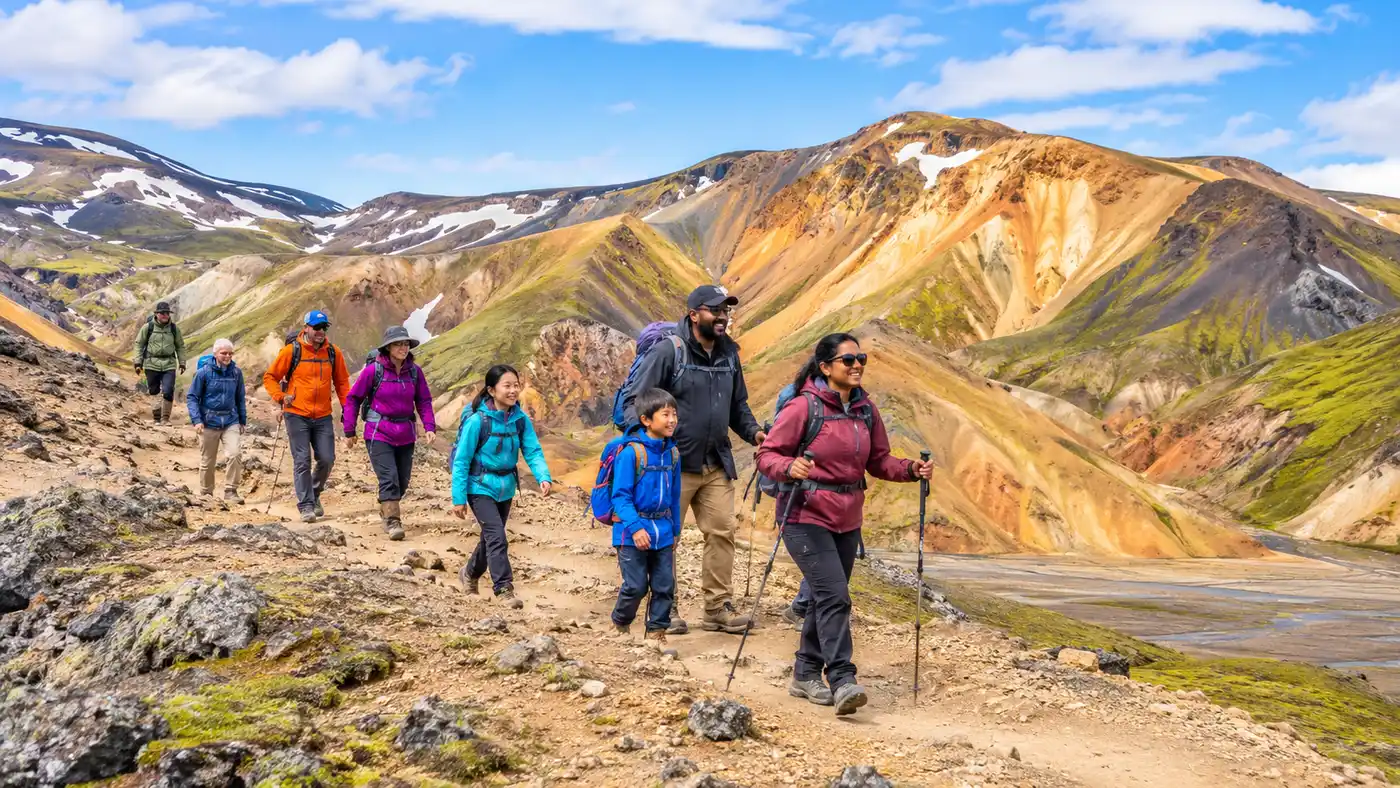
Best Landmannalaugar Day Hikes: Bláhnúkúr, Brennisteinsalda & Short Loops
Discover the best hikes in Landmannalaugar, from the steep Bláhnúkúr summit to the colorful Brennisteinsalda loop and …
Continue Reading →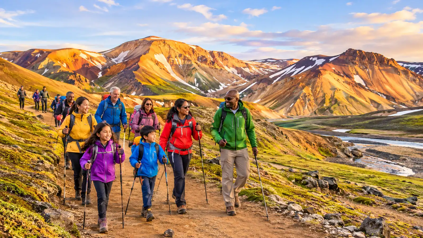
Catch the morning Trex bus to Landmannalaugar, explore raw volcanic passes, and trace the famous Laugavegur trail route into Iceland's interior.
Discover what makes landmannalaugar hike unforgettable.
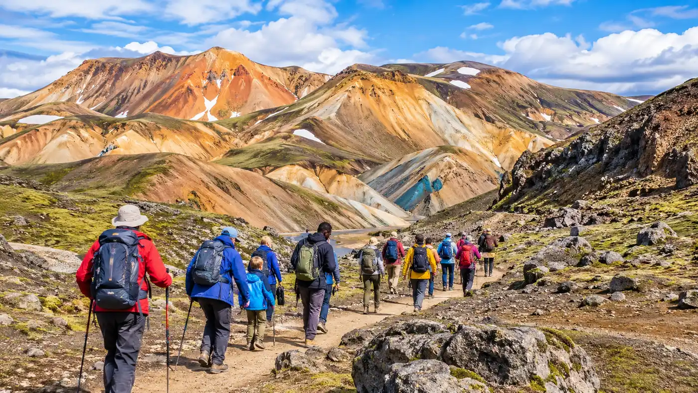
Daily mountain buses make deep wilderness access feasible without driving through deep river crossings yourself. Regular summer runs leave the capital every morning and return each evening.
Learn more →
Climb the dark volcanic cone of Bláhnjúkur or wind through the sulfur fumaroles of Brennisteinsalda. Six marked routes let day visitors explore contrasting landscapes in three to seven hours.
Learn more →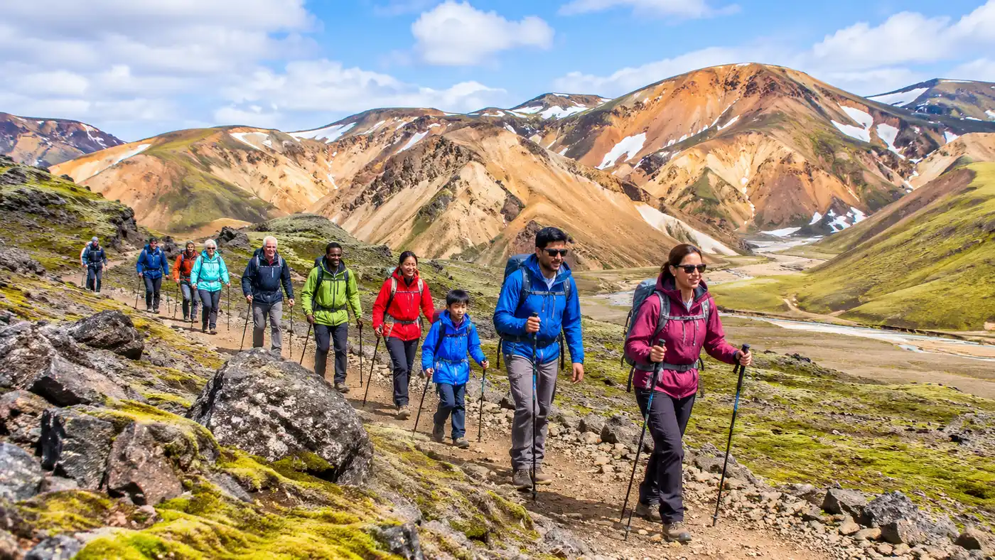
Shoulder a backpack and hike 54 kilometers across volcanic deserts, glacial gorges, and birch forests to Þórsmörk. It remains one of the world's most distinct multi-day wilderness traverses.
Learn more →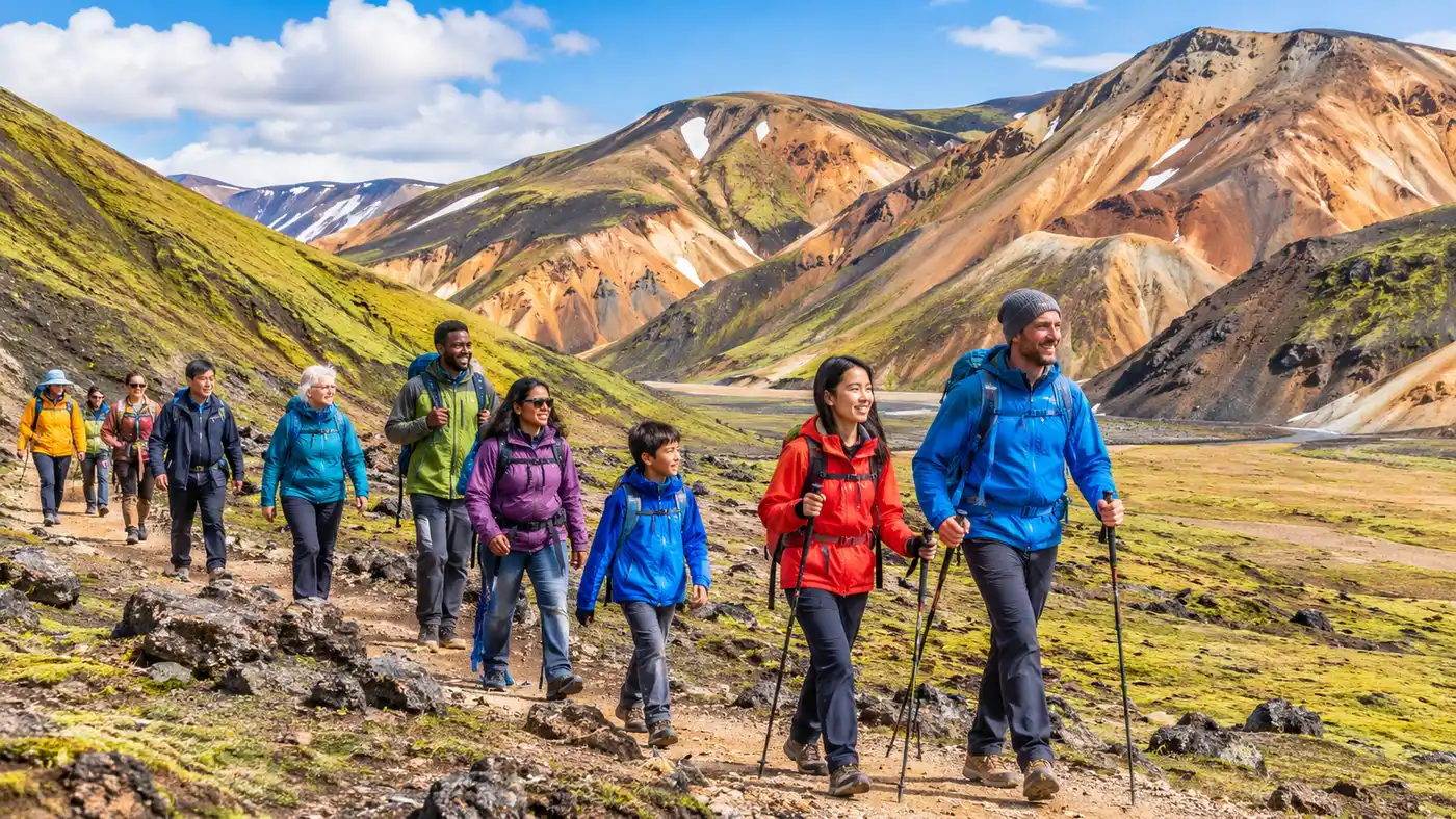
Small group departures combine crater lakes like Ljótipollur with remote river crossings and guided day hikes. Local drivers handle tough F-roads so you can focus on the geology.
Learn more →What to expect from arrival to departure.
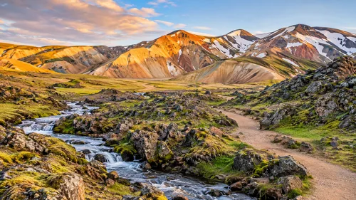
Board the early morning highland coach in the capital for the four-hour journey across the southern agricultural plains toward the interior.
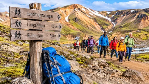
Watch the paved asphalt give way to washboard pumice and basalt tracks as your vehicle navigates unbridged mountain streams.
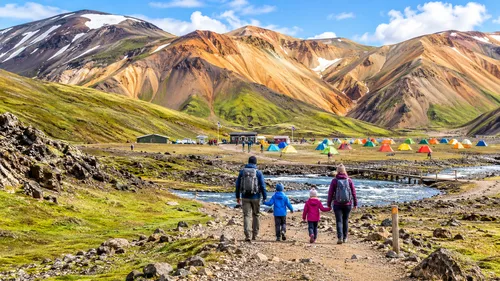
Check trail conditions at the Ferðafélag Íslands ranger office, store extra bags, and use the washhouse before lacing your boots.
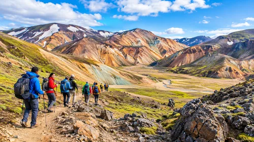
Follow wooden trail stakes past obsidian blocks, sulfur-crusted steam vents, and windswept ridgelines overlooking frost-sculpted plateaus.
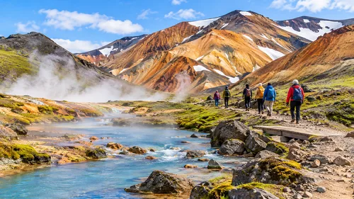
Change on the wooden deck and slide into the natural warm stream where cold hillside runoff blends with subterranean spring water.
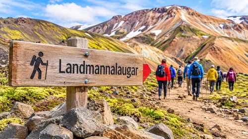
Pack warm dry clothes for the evening ride back out through the black sand outwash plains to Hella and Reykjavik.
Before heading into the wild interior, many hikers spend an afternoon walking Laugavegur in Reykjavik, gathering dehydrated meals at Bónus or picking up extra wool layers from Icewear. The transition from asphalt city blocks to the gravel tracks of the Fjallabak Nature Reserve happens rapidly once highland coaches roll past Mount Hekla and grind through glacial meltwater rivers.
Landmannalaugar feels like an exposed slice of early earth. Volcanic rhyolite turns the ridges shades of ochre, copper, and pale blue-grey, bordering the jagged black glass of the Laugahraun lava field. Steam hiss from vents along the hillsides, and right beside the ranger huts, a natural thermal stream provides a sandy place to sit waist-deep in hot water after six hours on scree.
Whether you come for an afternoon loop across Brennisteinsalda or set out south on the multi-day route toward Þórsmörk, you are entirely at the mercy of sub-Arctic weather. Mountain roads F208 and F225 rarely open before late June, and early September snowstorms can coat the rhyolite peaks overnight.
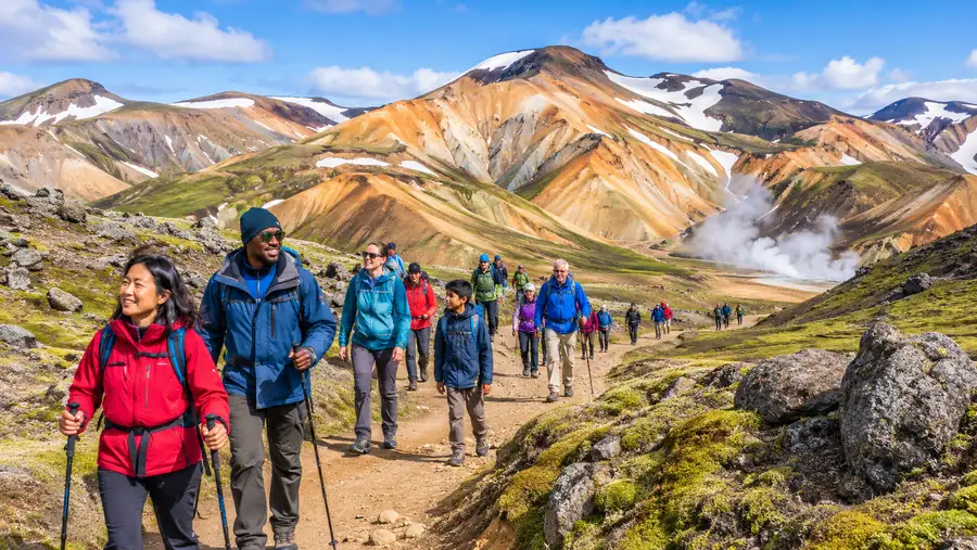
Bláhnjúkur was steep on the knees coming down the loose gravel, but seeing five distinct colors on the neighboring ridges made every step worth it.
Taking the morning bus let us skip the river crossings completely. The water in the stream was around 39 degrees where the two currents mix.
The wind was relentless along the Brennisteinsalda saddle, so bring serious gloves even in July. The landscape looks like another planet.
We did the Laugahraun loop with full packs before setting up camp. Clean mountain air, sulfur vents, and soft volcanic moss everywhere.
Compare options and book directly below.
Full access to all marked trail circuits in the nature reserve and the outdoor hot spring bathing area.
Access to heated indoor flush toilets, changing stalls, and outdoor wash sinks maintained by the warden station.
Dorm bed in the rustic Ferðafélag Íslands alpine cabin with communal gas kitchen facilities and heated bunk space.
Everything you need to know before visiting landmannalaugar hike.
Hours: Open 24/7 seasonally; the area and hiking trails are typically accessible from late June (around June 20) to mid-September, subject to snowmelt and highland F-road openings by the Icelandic Road and Coastal Administration
| Day Trail Access (Open access) | Free |
| Day Facility Use (Pay on site) | 600 ISK |
| Hut Overnight (Must book months ahead) | 13,500 ISK |
📍 Landmannalaugar, Fjallabak Nature Reserve, Road F224, 851 Hella, Iceland (Coordinates: 63°59'35.3"N 19°03'36.3"W)
See it before you go.
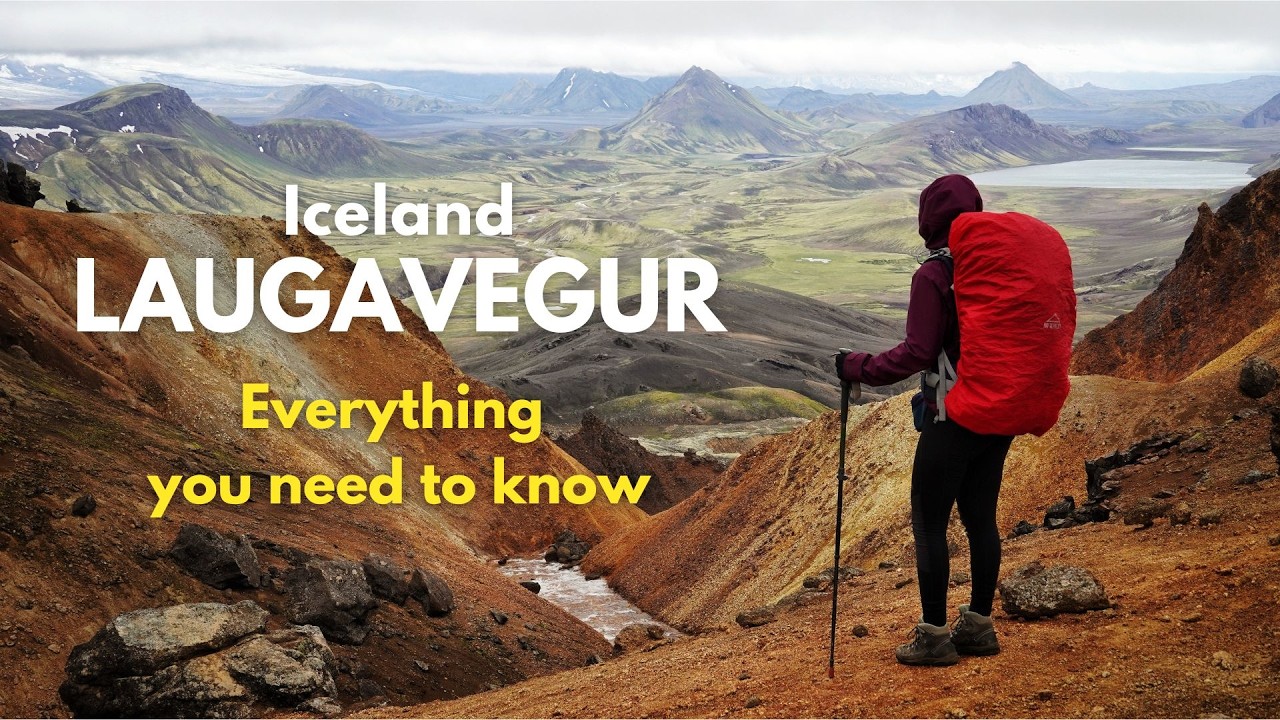
Worth combining with your landmannalaugar hike visit.
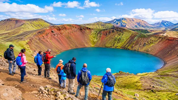
An explosion crater holding a deep blue lake enclosed by bright red scoria slopes.
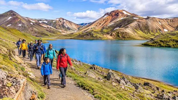
A quiet highland lake where black basalt lava fields slope directly into chilly teal water.
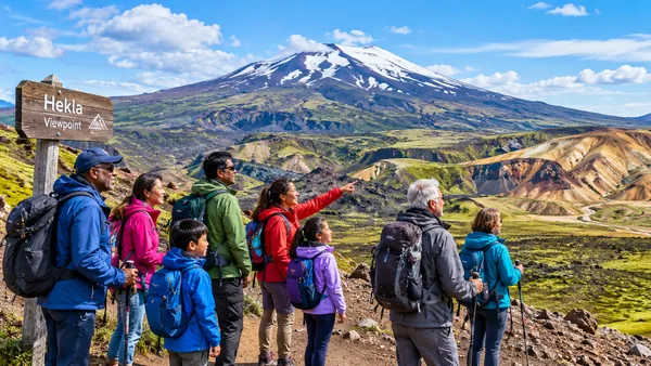
A barren lava track approach offering open vistas of Iceland's most infamous active stratovolcano.
Landmannalaugar Hike welcomes all visitors with accessibility features and family-friendly amenities.
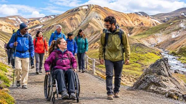
Hiking trails are not wheelchair accessible due to natural, uneven volcanic terrain, loose gravel, and lava rocks. Only a short wooden boardwalk extends from the service hut towards the natural geothermal bathing pool, but the surrounding trails and natural pool entrance lack wheelchair access facilities.
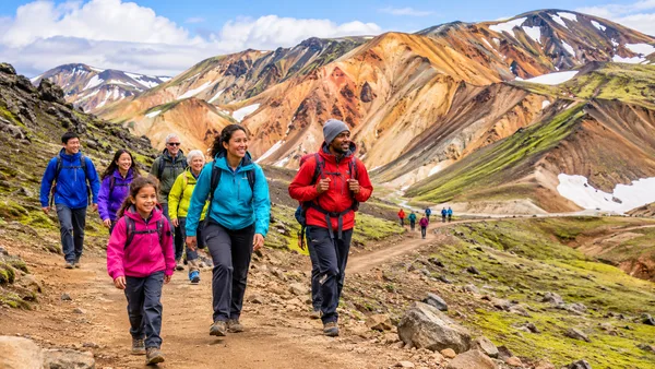
Suitable for active older children capable of hiking on uneven volcanic ground, with easier routes such as the Laugahraun lava field walk and the natural hot pool. It is not stroller-friendly due to rocky and gravel paths, and extreme, rapidly changing highland weather requires adequate gear and supervision.
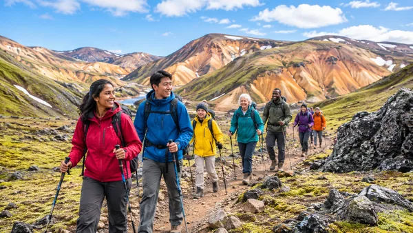
Rangers at the warden hut speak fluent English and Icelandic, providing up-to-the-hour weather reports, river ford statuses, and trail paper maps.
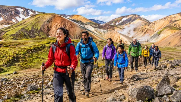
Movement throughout the area is strictly on foot over natural terrain consisting of loose scree, rough lava, and dirt tracks. Reaching the trailhead requires an F-road-capable 4x4 vehicle or highland bus; drivers without deep river-wading capability park at the P1 lot and cross a pedestrian footbridge over the river to reach the hut area and trailheads. There are no elevators, stairs, or paved walkways.
Dive deeper into landmannalaugar hike.
Discover the best hikes in Landmannalaugar, from the steep Bláhnúkúr summit to the colorful Brennisteinsalda loop and …
Continue Reading →
Compare the best Landmannalaugar super jeep tours, day trips, and guided hikes. Expert route tips, departure points, …
Continue Reading →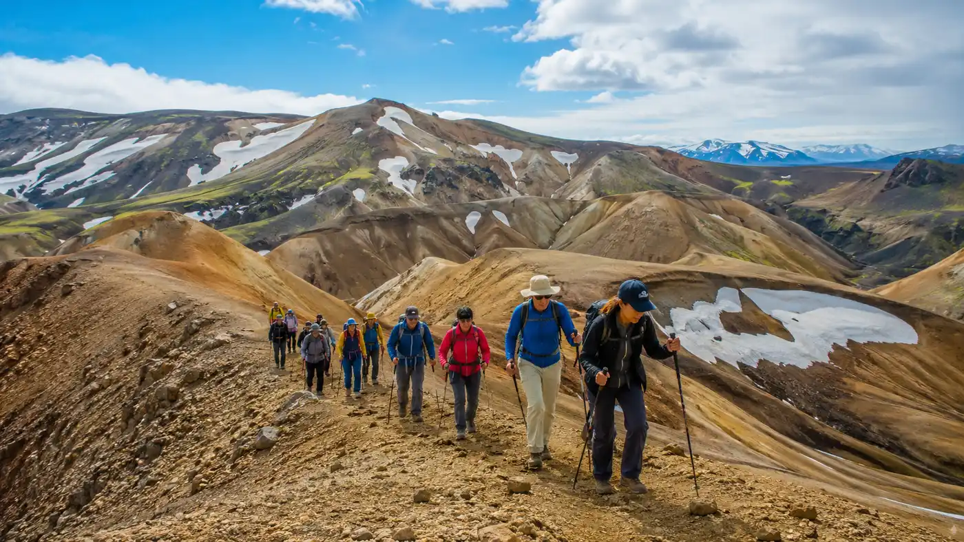
Compare Laugavegur trail guided hike packages, costs, and itineraries. Learn what operators provide, hut options, river …
Continue Reading →
Wondering how to get to Landmannalaugar? Our guide covers self-drive F-road routes, river crossing tips, and daily bus …
Continue Reading →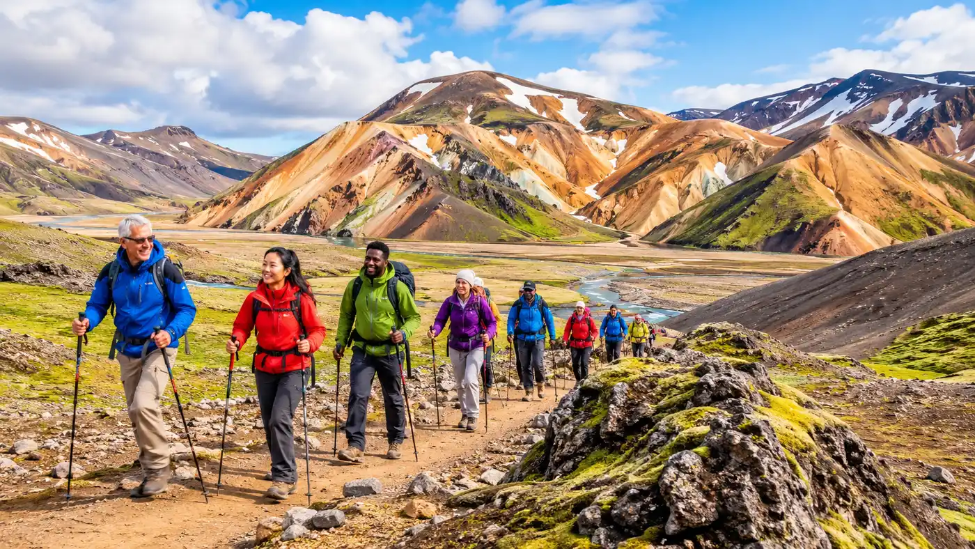
Master Landmannalaugar hut booking and camping along the Laugavegur Trail. Complete pricing, booking dates, facilities, …
Continue Reading →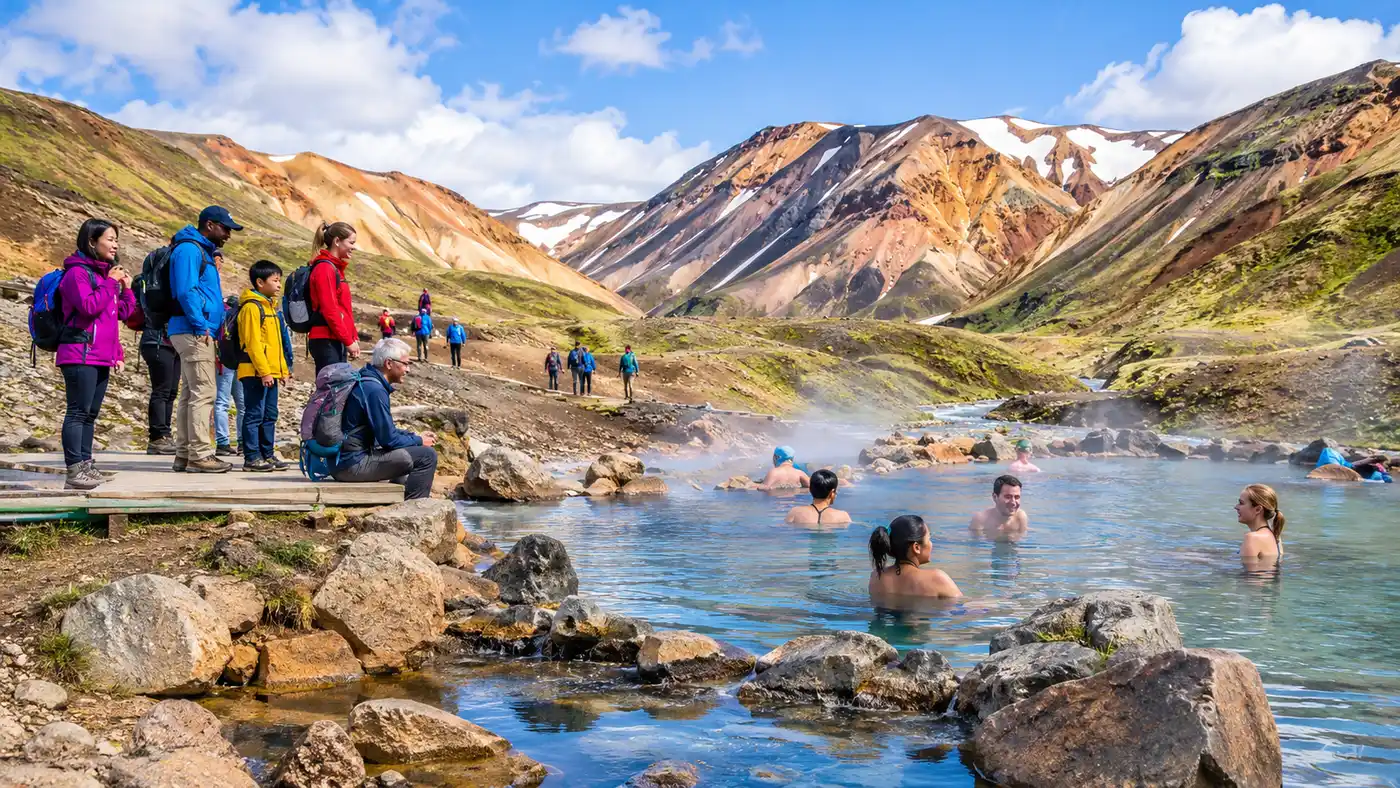
Complete bathing guide to the Landmannalaugar hot spring in Iceland. Discover pool temperatures, changing facilities, …
Continue Reading →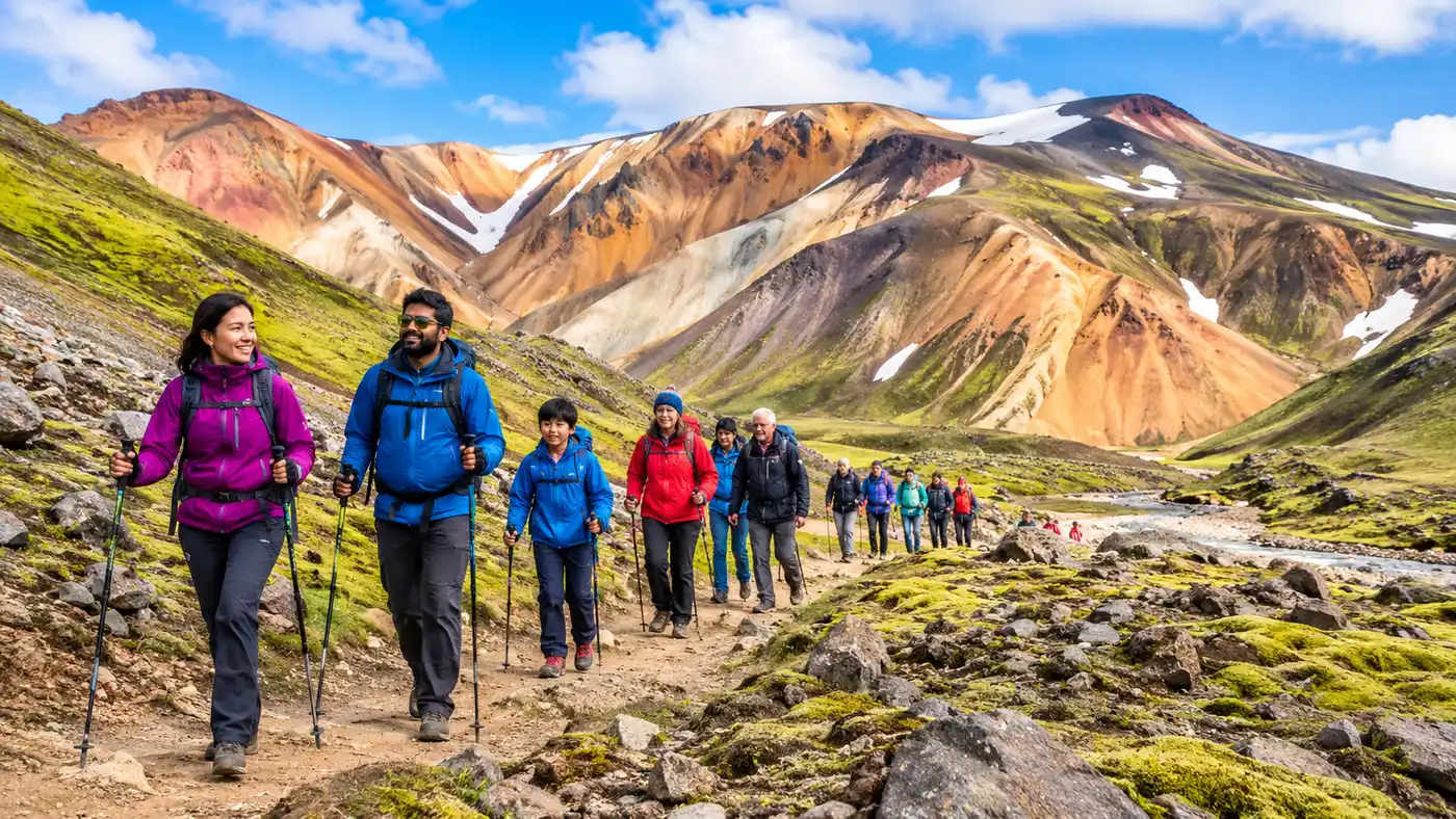
Discover the best time to hike Laugavegur Trail with our month-by-month guide to Landmannalaugar weather, F-road …
Continue Reading →
Trek the complete laugavegur and fimmvorduhals trail from Landmannalaugar to Skógar. Full stage breakdown, river …
Continue Reading →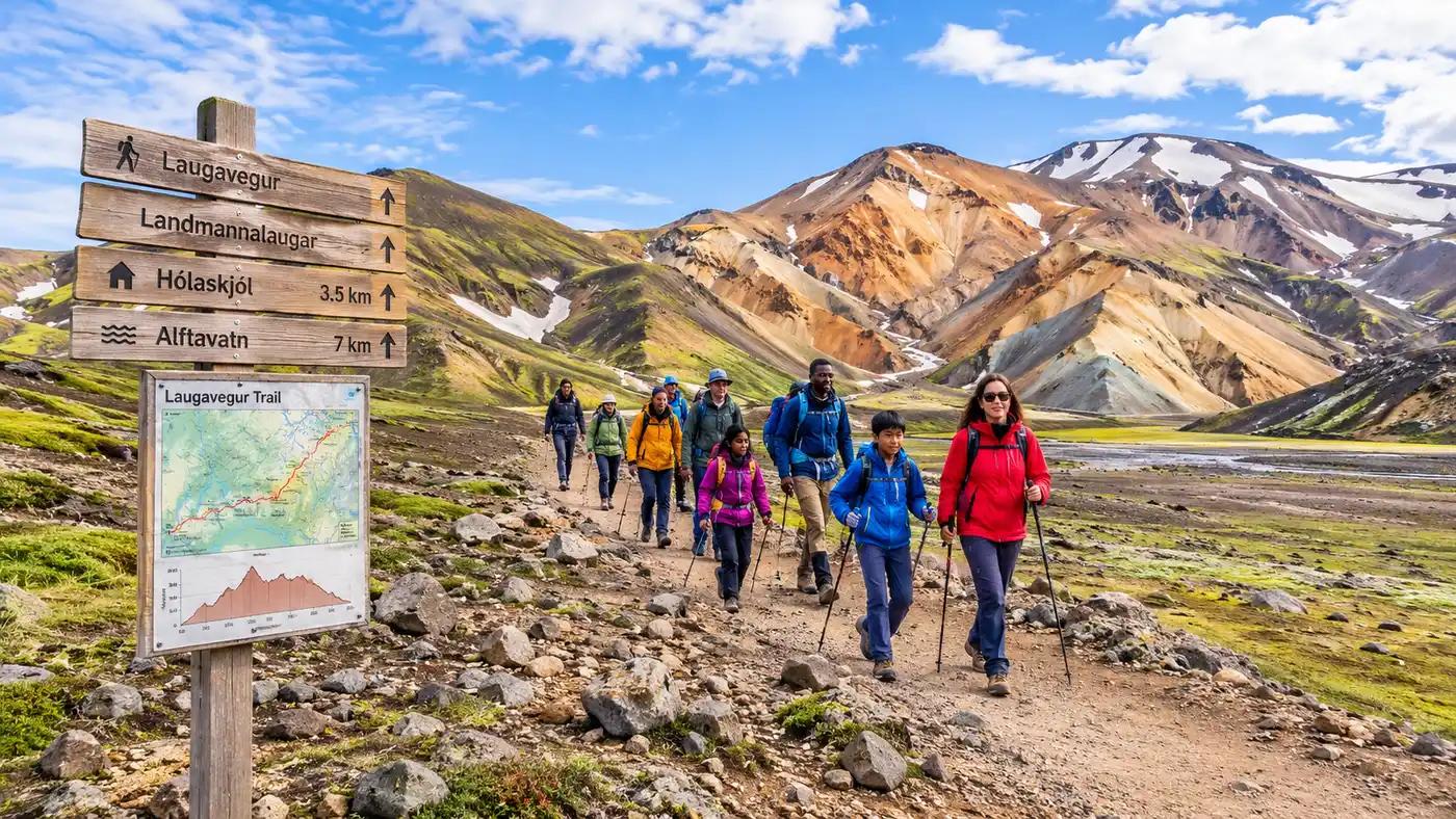
Navigate the Laugavegur Trail with our detailed route map, GPX data, elevation profiles, hut waypoints, and river …
Continue Reading →Common questions about landmannalaugar hike.
Scheduled wilderness buses run daily from late June through early September. Both the Reykjavik Excursions bus to Landmannalaugar and the Trex Landmannalaugar service pick up at the city terminal, stopping at regional villages before crossing mountain streams directly into the base camp.
You can pick up a contour Laugavegur trail route map at outdoor shops downtown or buy one directly from wardens at the Landmannalaugar information hut. Marked wooden pegs show paths on the ground, but a topographic paper map remains necessary if sudden fog covers the valleys.
Bathing in the natural river is free for all visitors. If you need to use the changing facilities, warm showers, or flush toilets by the wooden boardwalk, you must pay the daily visitor facility fee at the ranger window.
No, standard passenger cars are illegal on F-roads and rental insurance will not cover them. If you drive yourself, take road F208 from the north in a high-clearance 4x4; this approach avoids deep river crossings right until the final parking lot before the campsite.
Day routes like Bláhnjúkur involve steep scrambles over loose volcanic scree, sharp volcanic rock, and gusty ridge exposure. They require much sturdier boots and better wind protection than paths like Mount Esja.
Most scheduled buses arrive around 11:30 and depart near 16:30, giving you roughly five hours on the ground. That leaves plenty of time to hike a four-hour peak route and soak your feet in the warm river for forty minutes.
Highland snow happens every summer. Wardens post warnings on the cabin board, and if conditions turn hazardous, they advise hikers to stay on lower valley trails through the lava field rather than ascending windy ridges.
There are no grocery stores or sit-down restaurants. A converted green school bus called the Mountain Mall operates in peak summer, selling hot coffee, candy bars, gas canisters, and basic dry noodles at highland prices.
Check bus connections, packing lists, and trail profiles before heading into Iceland's interior.